
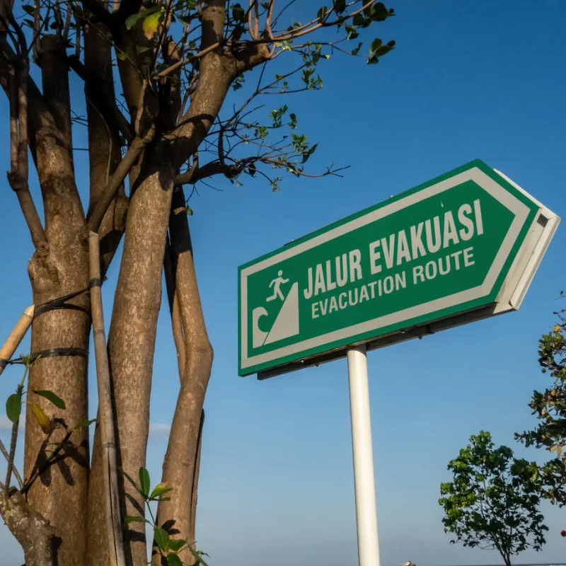
Bali has just inaugurated a new tsunami warning system. The new safety installation comes after years of Bali being dangerously underserved by its tsunami warning systems.
The new InaTEWS Bali building is part of a national Indonesian Disaster Resilience Initiative Project (IDRIP) by the Meteorology, Climatology and Geophysics Agency.


Bali’s Deputy Governor I Nyoman Giri Prasta launched the new Indonesia Tsunami Early Warning System, abbreviated to InaTEWS, this week.
The InaTEWS Operational System Building in Bali is now part of the national Indonesian Disaster Resilience Initiative Project (IDRIP), which is run by BMKG with support from the World Bank.
The building will function as a backup command center for handling earthquakes, tsunamis, and hydrometeorological disasters, second to the InaTEWS Operational System Building in Jakarta.
Speaking to reporters, Deputy Governor Prasta shared his appreciation for the construction of the new disaster information center.
He expressed his hope that disaster information can be conveyed to the public quickly and effectively via the InaTEWS Bali Operational System Building should such a need ever occur. Prasta said, “Hopefully, this can provide a sense of security and comfort to the Balinese people.”
At the opening ceremony, the Head of the National Disaster Management Agency (BNPB), Lieutenant General TNI Suharyanto, said that the construction of the communication centre is essential to help minimize the impact of disasters, especially earthquakes and tsunamis.
“BNPB will be downstream. After this building is officially built, it will be continued with the construction of command centers at the provincial and district/city levels.”
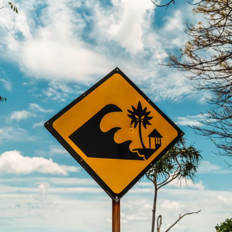
Bali and all of Indonesia are within the Pacific Ring of Fire, which means the risk of earthquakes and tsunamis is ever-present. In June 2023, the Executive Head of the Regional Disaster Management Agency (BPBD), Made Rentin, acknowledged that the province urgently needed more funding for disaster management planning and early warning systems.
Speaking at the time, Rentin told reporters, “We still need to optimize the early warning system we already have. The area of Bali is 0.26% of the whole of Indonesia. Ideally, 41 tsunami siren points must be installed.”
Fast-forward two years, and the new InaTEWS Operational System Building will provide a central hub for communicating natural disasters for the whole province.

Tourists traveling to Bali are always advised to check that their travel insurance policy offers comprehensive support in the event of a natural disaster.
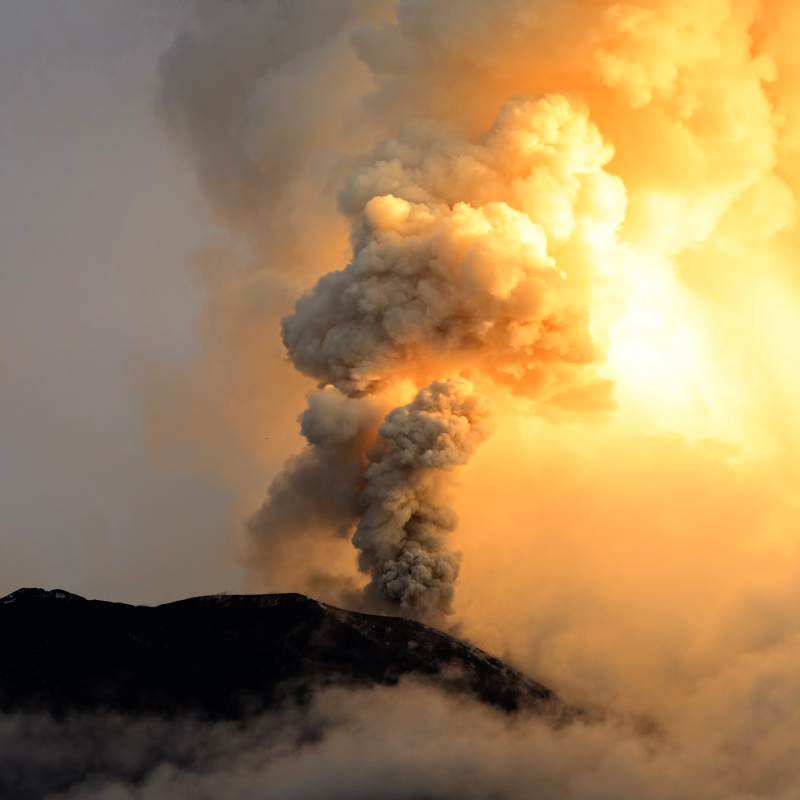
While uncommon, the risk of a major volcano eruption, earthquake or tsunami is ever present in Bali and the surrounding islands.
For example, over the last eight months, Mount Lewotobi Laki Laki in the Flores Islands has been erupting regularly and, on more than one occasion, has impacted air travel in and out of Bali.

In August 2024, officials from the Bali Center of Meteorology, Climatology, and Geophysics issued statements regarding Bali’s vulnerability to a megathrust earthquake.
The Head of the Earthquake and Tsunami Center at the Indonesian Meteorology, Climatology, and Geophysics Agency explained to reporters, “If a massive earthquake on the Nankai megathrust does occur and generates a tsunami, we need to be vigilant, as a large tsunami in Japan could potentially reach Indonesian territories.”

Though the Head of the BMKG Bali, Cahyo Nugroho, responded, “We hope this will not be interpreted incorrectly as if it would happen in the near future.” Adding, “Until now, there is no science and technology that can predict earthquakes precisely and accurately.”
Nugroho concluded, “The earthquake potential on the Megathrust of the Sunda Strait and Mentawai-Siberut is not new; it has even existed since before the Aceh earthquake and tsunami occurred in 2004.”
For the latest Bali News & Debate Join our Facebook Community
Plan Your Bali Holiday:
Book The Best English Speaking Drivers For Airport Transfers & Tours
Discover more from The Bali Sun
Subscribe to get the latest posts sent to your email.
Steve bm
Monday 23rd of June 2025
For tourists only ha. They could build 50 meter high ugly concrete towers 100 meters apart along all flat areas on the coast and have a atm swipe card system
WAYAN BO
Saturday 21st of June 2025
When was Bali last time hit by Tsunami❓
M
Friday 20th of June 2025
nice, so there are any GPS buoys for tsunami detection out there now too? 7 years ago when it happend the last tsunami in Sulawesi, BNPB stateted the country hasn’t had a functional tsunami detection buoy system since 2012...
LINK
Exp
Saturday 21st of June 2025
@M, I use an app with live (immediate) eartquake notification connected to usgs and other sources. Not sitting on a beach relying on the local system having a good day.
Exp
Thursday 19th of June 2025
There is no way to escape a sizeable tsunami in the south Bali tourist zones like south Denpasar, Sanur, Benoa, Kuta, Seminyak, Canggu etc as most will be stuck in massive traffic jams. That is the brutal truth.