
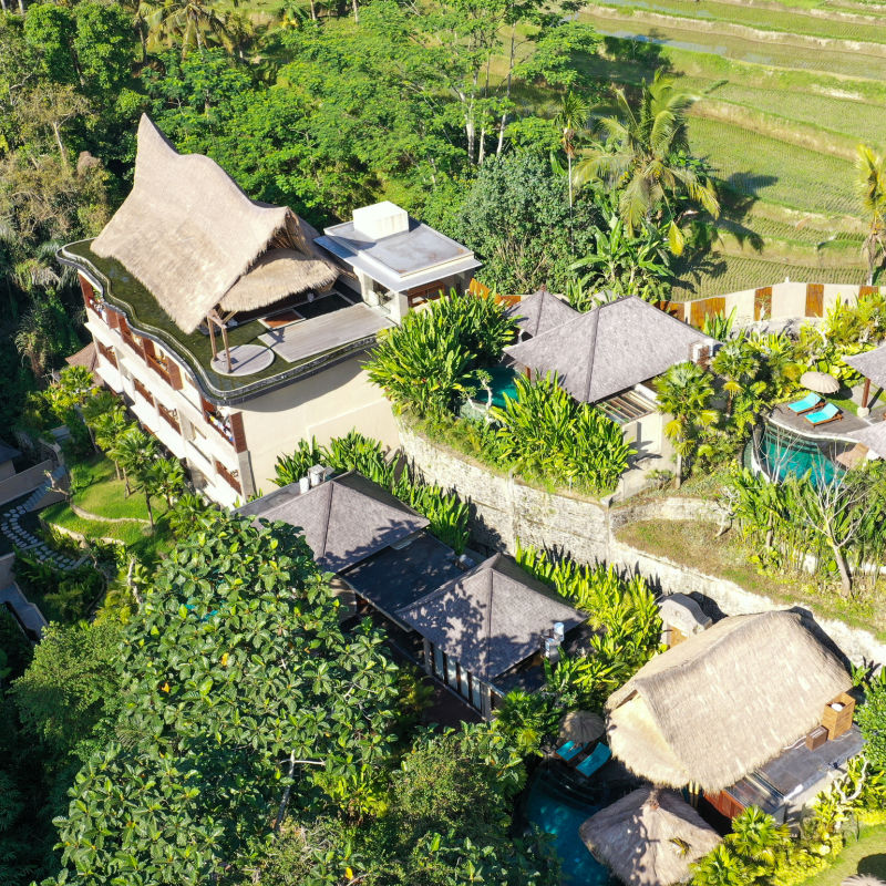
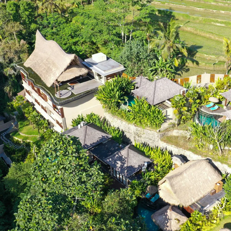
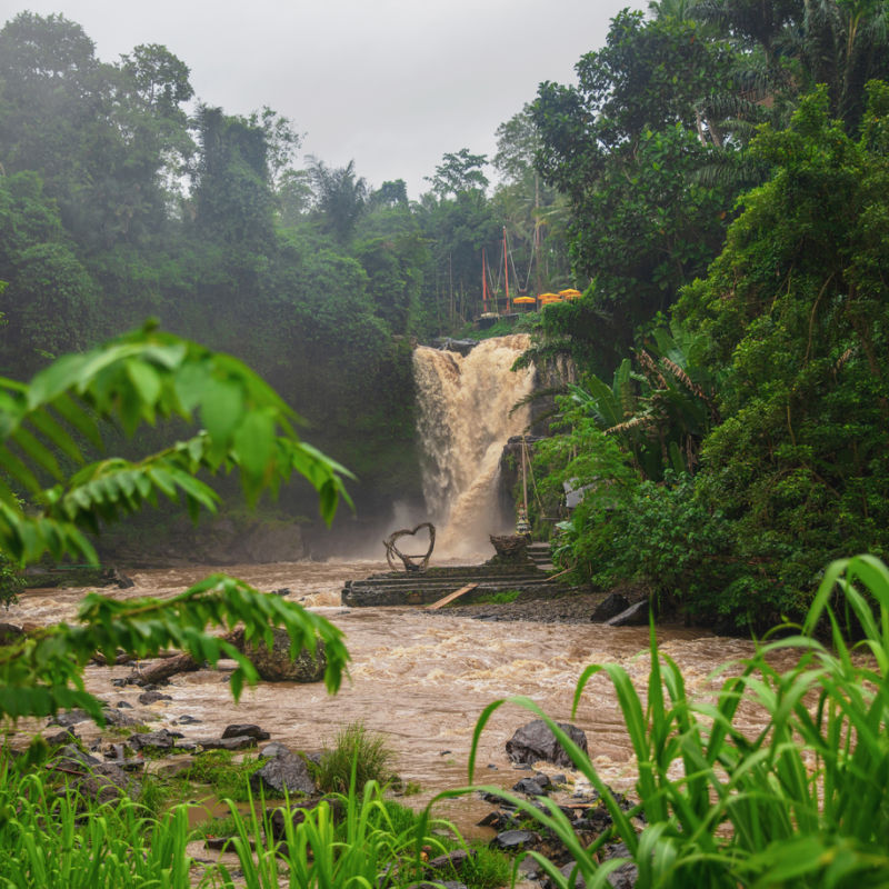
Environmental leaders in Bali have shared the results of their assessment of changing land use on the island and the impact it has on the provinces’ resilience to changing weather. The Indonesian Forum for the Environment of Bali Province (WALHI) revealed their research concludes that the increase in natural disasters is directly related to the conversion of land for infrastructure development, namely for the tourism sector and transportation.
The Director of WALHI Bali, Made Krisna Dinata, told reporters on Tuesday, 18th October, that ‘The natural disasters that hit Bali are caused by the domino effect of climate change due to the increase in the earth’s surface temperature. Then welcome the conversion of land functions due to massive infrastructure development in Bali’.
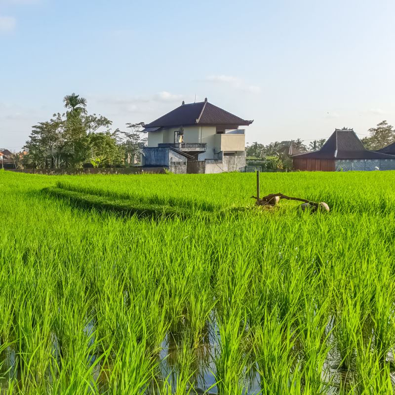
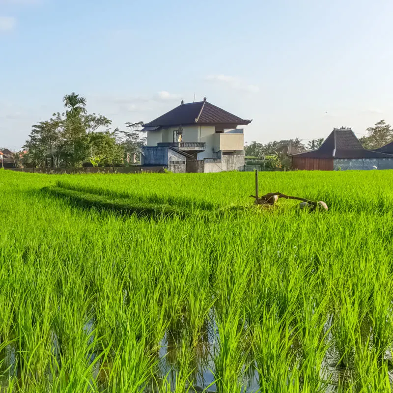
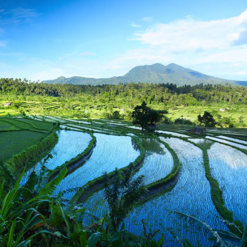
He cited research from Prof. I Wayan Windia from Subak Udayana University. The data shows that every 1 hectare of rice fields can accommodate 3000 tons of water if the water is 7 cm high during the rainy season or if dams are opened to allow the fields to flood. This is the average depth of water needed for rice to grow well.
Top 5 Travel Insurance Plans For 2023 Starting At $10 Per Week
Easily Earn Points For Free Travel

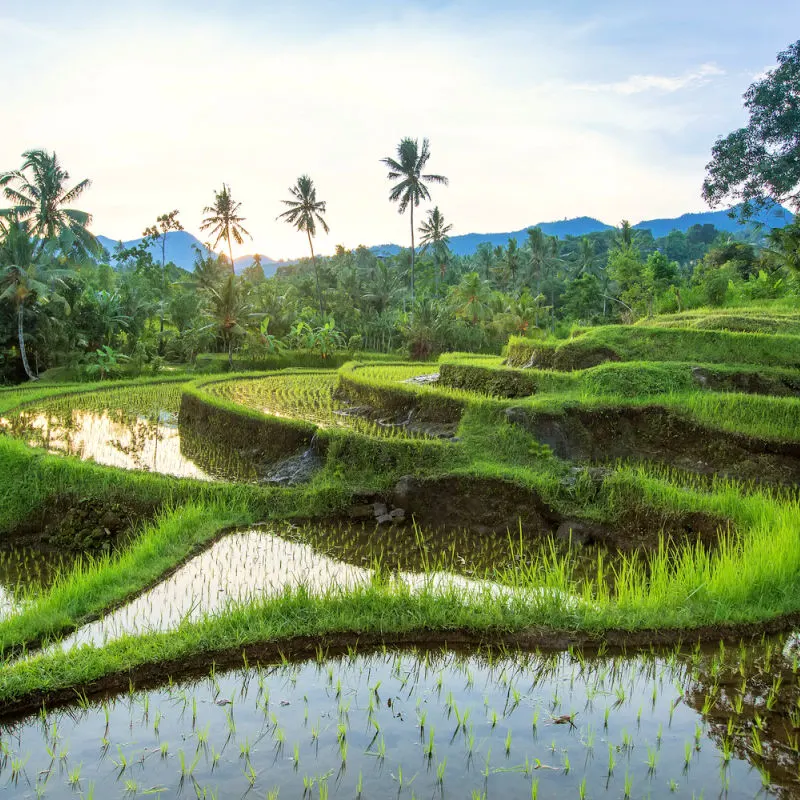
However, the issue comes when environmental scientists consider how much agricultural land, specifically rice paddies, has been lost to infrastructure development. While building on the ground doesn’t immediately cause an issue, without sound water management systems in place, there is nowhere for monsoon rainwater to go if the paddies are built on. This causes major flooding events and landslides in surrounding areas when runoff from the fields accumulates in areas where it has not accumulated before.

In 2014 there were 80,506 hectares of rice fields within the research area in central Bali. By 2018 the had shrunk to 69,066 hectares. To put it more simply, in the space of four years, Bali lost over 34 million tonnes worth of water-carrying capacity.
The Indonesian Forum for the Environment of Bali Province raised concerns that the island’s major infrastructure developments, such as the LNG Terminal and the Gilimanuk Mengwi Toll Road, will reduce agricultural land even further. Despite Governor Koster committing to the vision that the projects would not destroy any productive agricultural land, the projects will, at the very least, reduce land that is important for water management.

The group has worked the numbers and suggested that more needs to be done to regenerate landscapes to help improve water management across Bali and build better climate resilience. This would positively impact local people, the tourism sector, the agriculture sector, and beyond.
According to the policy documents cited by Dinata, there are ‘88.3 hectares of plantations, 75.14 hectares of protected forest area in West Bali, 20.36 hectares of West Bali National Park, 22.7 hectares of river crossing, 20 hectares of residential areas, and plantations belonging to the community’ that all sit along the construction route for the Gilimanuk Mengwi Toll Road. The road will connect central Bali to outlying regencies to the west, all the way through to the harbor that connects Bali and the island of Java.

Dinata explained, ‘In the data, it is said that 188.31 hectares of agricultural land affected are irrigated rice fields. But based on our data, it is different, namely 480.6 hectares of rice fields affected by the toll route. So in total, there are 1300 hectares that have been converted into toll road’. Using Dinata’s argument, this data suggests that a further 3.9 million tonnes of water capacity would be lost from rice fields along the new toll road alone.
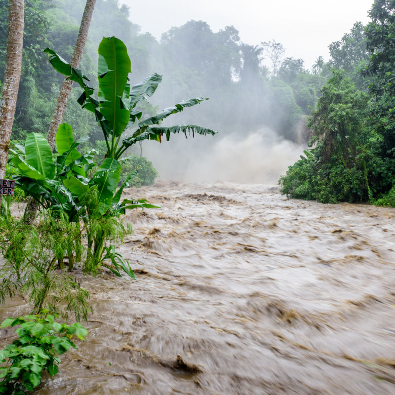
In light of recent natural disasters in Jembrana and Gianyar and more weather warnings issued for all areas of Bali in the coming days, the agency hopes that the provincial government will heed their warnings. Dinata suggested that due to the high risk of natural disasters across Bali, the government should be careful in designing future infrastructure and when issuing building permits to private contractors across all sectors.
For the latest Bali News & Debate Join our Facebook Community
Plan Your Bali Holiday:
Book The Best English Speaking Drivers For Airport Transfers & Tours
Discover more from The Bali Sun
Subscribe to get the latest posts sent to your email.
Raymond
Thursday 20th of October 2022
After living on Bali for a decade plus I still see the rocks being removed from river beds and river edges. Surely this creates a big problem when flooding.
IRod Wilkinson
Thursday 20th of October 2022
A bit late now,but the money has been made,ho hum,