
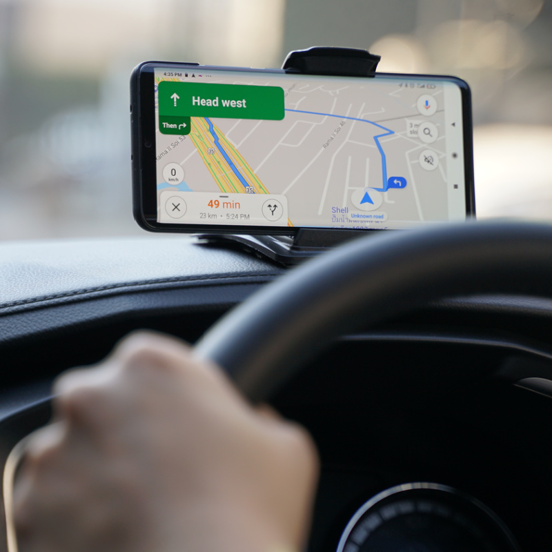
Tourists and drivers in Bali are being reminded not to always follow online SatNav services to the letter when in rural areas. While apps like GoogleMaps and Waze are heavily relied upon by taxi drivers and visitors to Bali, the navigation systems are notorious for sending travelers far off route and often onto impassable roads with no option of turning around.

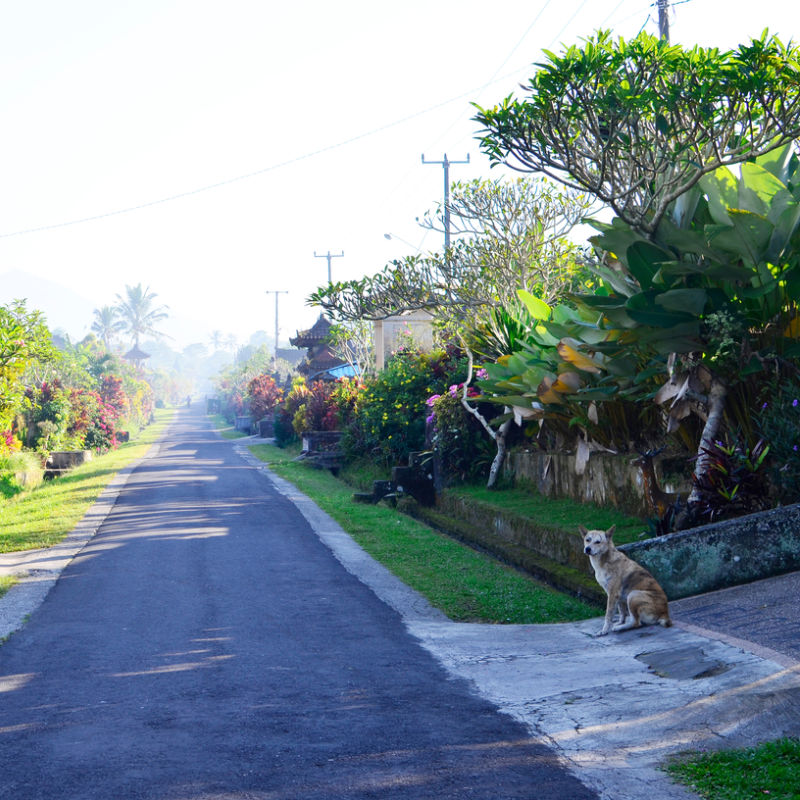
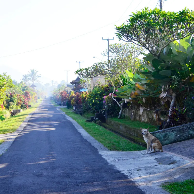
This situation played out once again on Wednesday, 19th October, on the Tigawasa-Kaliasem Highway, which is the suggested route from Denpasar to Lovina in North Bali. The route has caused trouble for dozens of drivers in the last year or so, with some even ending up careering off the road and sadly getting into collisions.
The most recent incident occurred yesterday at around 10.15 am. A car driven by Arif Kurniawan, 36, a resident of Tigaraksa, Tangerang, crashed into a cliff face along the route. It is believed that the brakes of the car failed. Kurniawan quickly realized the safest way to stop the vehicle was to maneuver the car into the forested banks of the road. Fortunately, Kurniawan and his four passengers (all tourists) were uninjured, although shaken by the ordeal.
One local resident, Ketut Sujana, told reporters that there had been many accidents on this stretch of road. The drivers and their passengers are generally travelers from the Denpasar area and are heading to the North Bali beach resort of Lovina. Sujana said that most of the victims followed directions from the online map applications.
Top 5 Travel Insurance Plans For 2023 Starting At $10 Per Week
Easily Earn Points For Free Travel
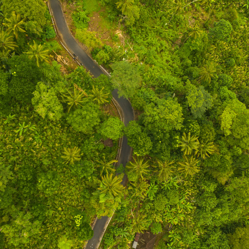

Sujana also told reporters of events where motorists have sadly lost their lives on the stretch of road that isn’t designed to take vehicles larger than a moped or really any through traffic. The route is used by people in the surrounding villages who know the pathway like the back of their hand.
Nw locals are calling on drivers across Bali to find an alternative route on the maps to avoid the dangerous ‘highway’. Sujana said ‘The car has overturned several times. It’s been three times this month. There was also someone who rode an automatic motorcycle that fell from above [down the hillside]’.

The Head of Banjar Police, Kompol Gusti Nyoman Sudarsana, spoke to reporters separately and recommended that drivers avoid the route at all costs. He desired the stretch of road as ‘very extreme’ and ‘unfriendly’. He suggested that the route should be kept for locals who understand the cambers and bends well.

He explained, ‘Every time we asked why they followed the instructions in the application. Indeed, the application tends to show shorter distances and faster travel times’. But this is only based on satellite images of the traffic on the road and the distance. The reality is quite different. Although other routes may not appear as fast or direct as the crow flies, they are, in fact, safer, quicker, and in practical terms, more direct.
Kompol Sudarsana urged drivers public to avoid relying on using maps applications without exercising common sense. When driving from Denpasar, travelers are advised to follow traffic signs and follow the main roads, namely Jalan Raya Singaraja-Denpasar. He explained, ‘If you really want to use the application, it’s better to enter the destination to Singaraja first. After that, just enter the next destination to Lovina. So the route is safer’.

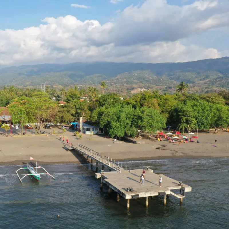
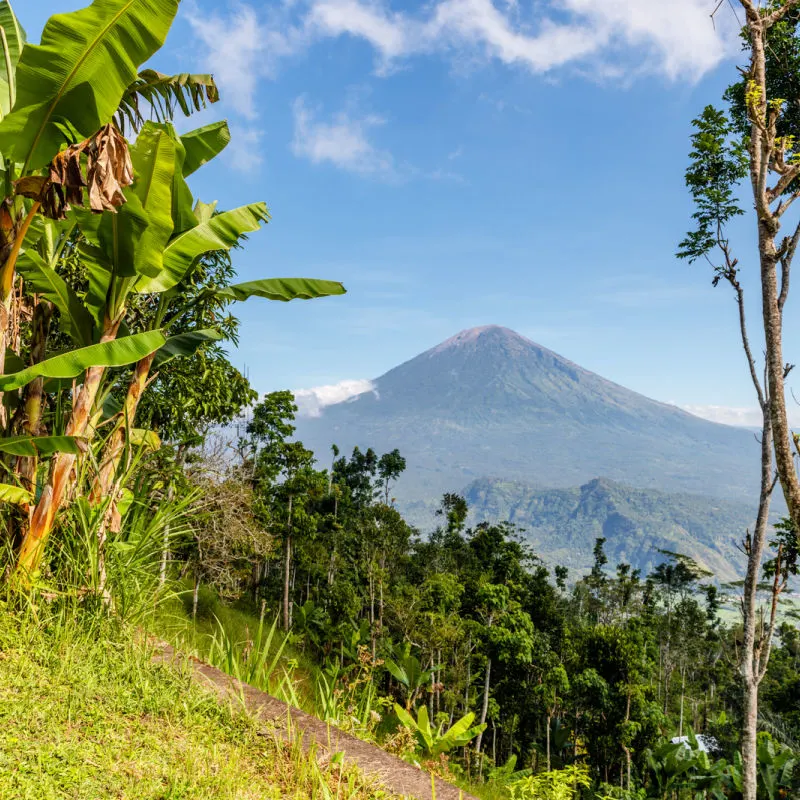
Lovina is one of the most popular beach destinations in North Bali. However, the area receives only a fraction of the number of visitors that arrive on the southern beaches every year. North and West Bali are areas of the island that will receive promotion and marketing in the coming months as years as the Indonesian Tourism Minister Sandiaga Uno and his teams start work on promoting lesser visited areas of the Island of the Gods.
For the latest Bali News & Debate Join our Facebook Community
Plan Your Bali Holiday:
Book The Best English Speaking Drivers For Airport Transfers & Tours
Discover more from The Bali Sun
Subscribe to get the latest posts sent to your email.
J West
Saturday 22nd of October 2022
Hah…..this isn’t uncommon everywhere….on a trip to Texas I had an outdated version and it was constantly “recalculating” and leading to where roads had simply vanished.
Graham
Monday 24th of October 2022
The brakes certainly get a good emergency service test before a cliff. Lucky to survive after hiring a moped at night. But it's always a bule guilty no matter what. The Waze app is the go.
Buaya
Saturday 22nd of October 2022
So brakes are the problem, not navigation software.
Karen North
Friday 21st of October 2022
Sat nav has nothing to do with these accidents. There are many roads that you can take to get from Bedegul down to Lovina and all are passable. The problem is with the cars. Or drivers . Speed, brakes faulty as the cars aren't serviced.
Ben
Saturday 22nd of October 2022
@Karen North, for this specific incident...
The problem with navigation software still exists though: It generally marks a road as 'passable' or not. One solution could be to update the map and give these small roads a maximum speed of 10 km/h in the database, so it will avoid them when looking for the fastest route.