
Indonesia’s Meteorology, Geophysics and Climatology Agency has issued early tsunami warnings across many of the country’s eastern provinces after an 8.7 magnitude earthquake hit off the coast of Russia’s Kamchatka in the early hours of Wednesday morning.


Tsunami warnings have been issued across the eastern coast of Russia and Japan, as well as the Pacific Islands, including Hawai’i, where evacuation orders have also been issued.
The 8.8 magnitude earthquake was relatively shallow according to reports from seismologists and has the potential to trigger high waves or a tsunami.
The tsunami threat was also an issue around the Northern Mariana Islands of Guam, Rota, Tinian, and Saipan, and in Indonesia, many regions across the east and northeast of the country are on standby as the impact of the earthquake travels across the ocean, and the potential for aftershocks remains present.
Indonesia’s National Disaster Management Agency has urged Indonesian residents in five provinces to stay alert and on standby for the next steps, as early tsunami warnings have been issued. The provinces issued with warnings are North Sulawesi, Gorontalo, North Maluku, Papua, and West Papua.
Speaking at an emergency press conference, the Head of the National Disaster Management Agency Disaster Data Department, Abdul Mohair, told the public, “Coastal areas with bay formation, such as in Yotefa, Papua, are at risk of wave height amplification. Therefore, residents should evacuate coastal areas.
Indonesia sits within the Pacific Ring of Fire and regularly experiences seismic activity, both in terms of volcanic activity and earthquakes. Over the last few months, volcanic activity in East Java and the Flores Islands has been increasing and has impacted travel to Bali and other major travel hotspots in the country.
Forecasters also predict that should there be a mega trust earthquake off the coast of Japan, Indonesia would be one of the worst-impacted regions, with Bali almost certainly bearing the brunt of the impact.
The Indonesian Disaster Management Agency recently issued updated information about the five active plate zones within Indonesia. These are the Sumatran Megathrust, the Java Megathrust, the Banda Megathrust, the Northern Sulawesi Thrust, and the Philippine Thrust.
Within these five zones, there are 16 active areas with the potential to see major earthquakes and tsunamis, in addition to the Nanaki seismic gap.

What makes these regions of such an area of focus for the Disaster Management Agency is that not only are these areas home to millions of residents, but they are also home to some of the most popular tourism destinations in Indonesia.
These include the Mentawai Islands in West Sumatra, which are regarded as some of the last surf paradises in the world. Yogyakarta Province is also at risk, as are Lombok Island, Bali Province, and Sulawesi.
This means that any disaster management mitigation, preparation, and prevention plans must be considerate of the thousands to hundreds of thousands of tourists that could stay in these locales when a disaster strikes.
Tourists traveling to Indonesia are urged to ensure that they have fully comprehensive travel insurance at the time of booking their trip.
Tourists must also be sure to read their policy documents in full and be clear about what is and is not covered by their insurance provider.
Tourists should ensure that they have coverage that provides comprehensive on-the-ground support in the event of a natural disaster and support for travel cancellations, delays, or disruptions caused by natural disasters.
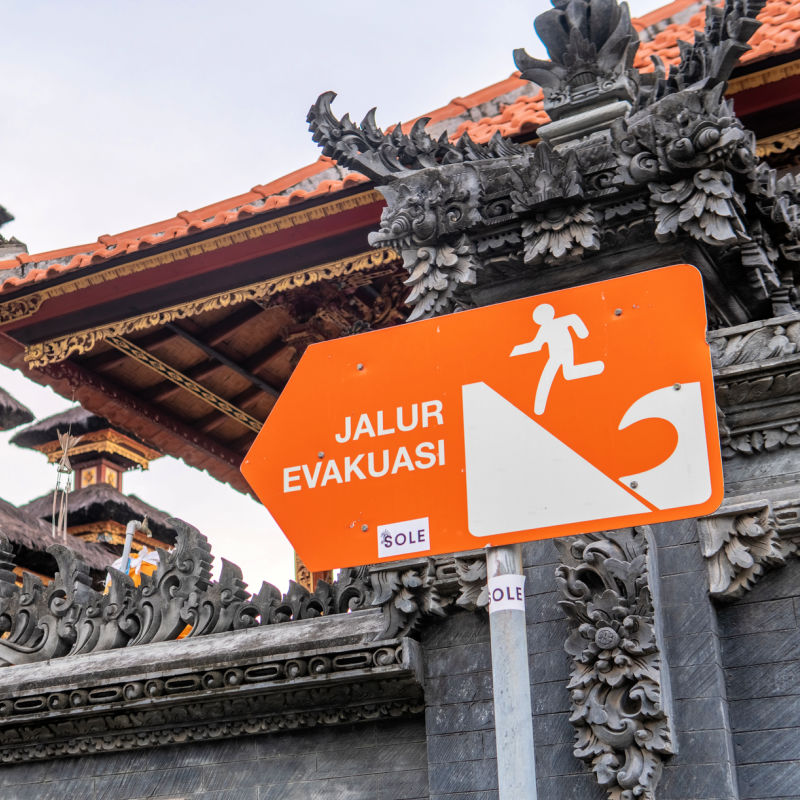

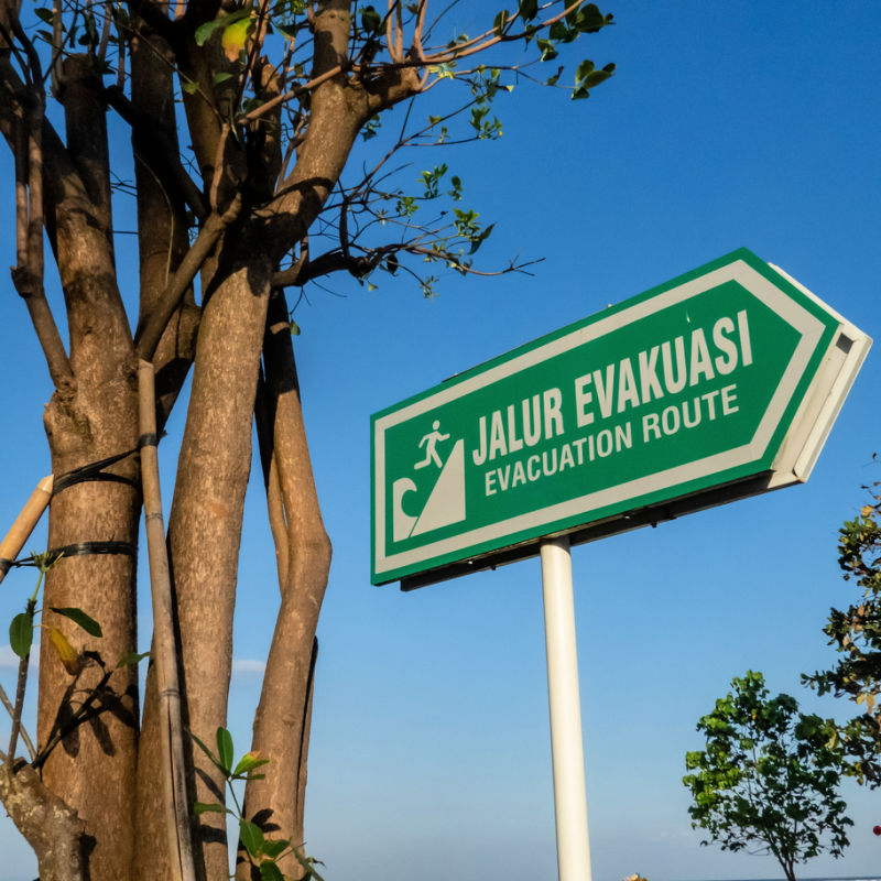
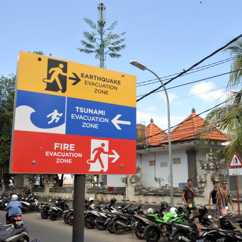
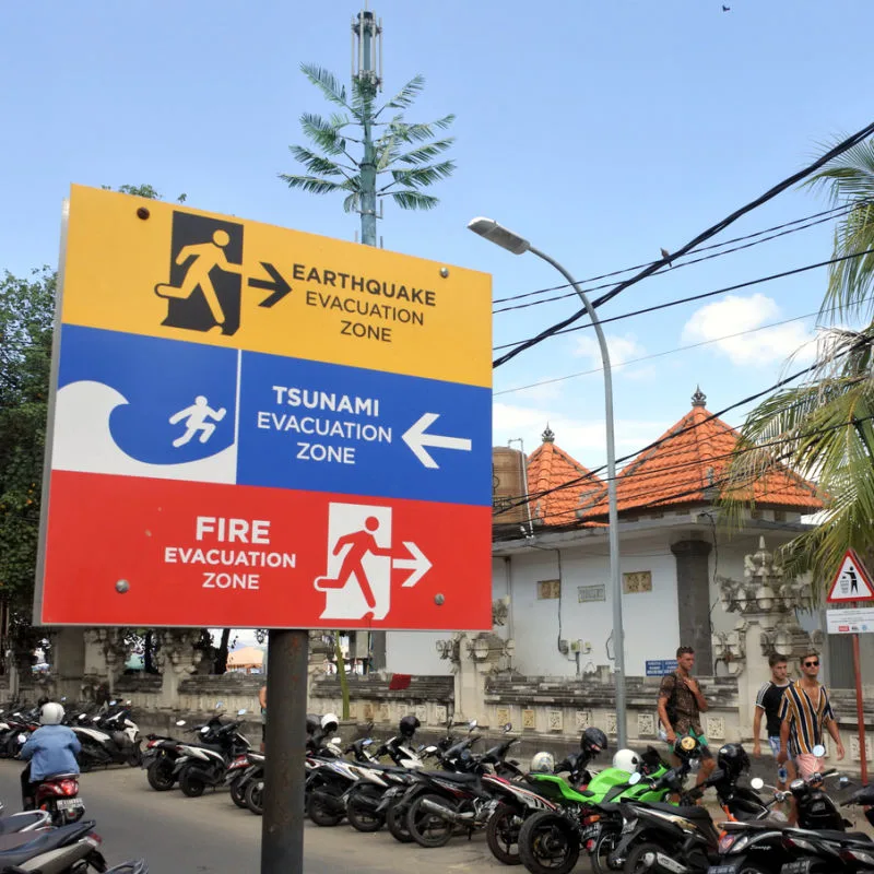
Tourists traveling to Bali should talk with their accommodation hosts at the time of check-in to get up to speed about evacuation routes and emergency protocols.
This includes what to do in the event of a fire, earthquake, tsunami, or flooding.
For the latest Bali News & Debate Join our Facebook Community
Plan Your Bali Holiday:
Book The Best English Speaking Drivers For Airport Transfers & Tours
Discover more from The Bali Sun
Subscribe to get the latest posts sent to your email.
Yatish Ravindra Amin
Thursday 31st of July 2025
Tsunami reports
Exp
Thursday 31st of July 2025
Here is link for topographic map over Bali. Large areas in the south below 10 meter elevation. In some place following the tsunami evacuation signs will lead to lower ground inland (like Kuta, Legian, Sanur).
Anyway tourists will be stuck in massive traffic jams when thousands of Indonesian are trying to escape on their motorbikes.
LINK