
Bali has confirmed that it has installed three new tsunami early warning systems to help protect the community and tourists from natural disasters.
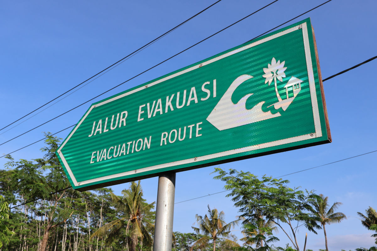
There are already tsunami warning devices in place in Bali’s most popular and at-risk areas, including Seminyak Beach.
The three new devices have been installed as a part of the Indonesia Disaster Resilience Initiatives Project (IDRIP) program, which aims to mitigate and improve community preparedness for potential tsunamis around the country. Being an archipelago nation, located within the Pacific Ring of Fire, Indonesia is constantly experiencing seismic activity, which risks tsunamis.
Speaking to reporters, Jembrana Regional Disaster Management Agency (BPBD) Chief Executive I Putu Agus Artana Putra explained that the siren trials were conducted at the three locations this week. The three villages where the sirens were installed are Penyaringan Village, Yeh Kuning Village, and Pengambengan Village.
While Jembrana Regency is one of Bali’s lesser-visited regions, the villages where the tsunami sirens were installed also happen to be increasing in interest with tourists. As the central south of Bali becomes busier, tourists and travelers are steadily moving along the west coast of the island in search of less crowded beaches.
Putra told reporters, “The sirens are part of the IDRIP program, a collaborative initiative between the National Disaster Management Agency (BNPB) and the World Bank. They have been installed in three villages.”
He confirmed that, following testing and monitoring, all tsunami early warning sirens are functioning properly and reliably.
All sirens have also been confirmed to have been activated both remotely from the BNPB Jakarta and manually. Putra added, “Thanks be to God, everything is functioning properly.”
The news that Bali has rolled out more tsunami early warning systems comes just as Geophysics from the Bali Meterology, Climatology and Geophysics Agency have spoken to reporters about the increasing risk of a megathrust earthquake and raised their concerns about the planned construction of a Floating Storage Regasification Unit (FSRU) Liquified Natural Gas (LNG) Terminal in the waters off Serangan Island, close to Sanur.
Speaking to reporters, BMKG Geophysics Officer Soekarno Saputra explained that, based on a 2017 study by the National Earthquake Center, Bali has the potential to experience large earthquakes due to the convergence of the Indo-Australian and Eurasian plates in the south of the island.
Saputra shared, “If we look at the potential for a tsunami in the Bali region, because the subduction zone is located in the south and is located at sea, it could cause a tsunami. With a magnitude of 8.5, the Serangan and Sanur areas could face a tsunami with a height of around 6 to 10 meters.”
With this in mind, Saputra noted that any development in Bali’s coastal waters requires scientific review and assessment for potential risks.
He noted, “At the very least, any development in an earthquake-prone area should receive extensive input from experts, so that if something does happen, the risks can be minimized.”

Based on the seismic mapping drawn up by the BMKG, the southern regions of Bali have the potential for a megathrust earthquake with a magnitude of up to 8.5. If this happened, it would almost certainly trigger a tsunami with wave speeds reaching 500–600 km per hour.
As it was shown in the BMKG simulation, tsunami waves from a megathrust earthquake off the south coast of Bali could reach Serangan and Sanur in about 27 minutes, offering a ‘golden time’ for evacuation of 13–14 minutes.
This has often been cited as being shorter if such an earthquake should occur off the coast of Legian, Seminyak, or Canggu.
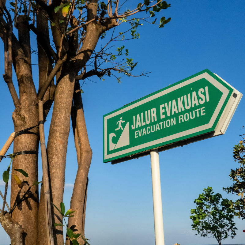

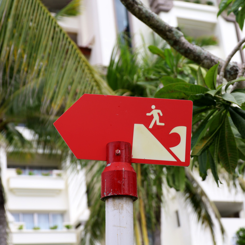
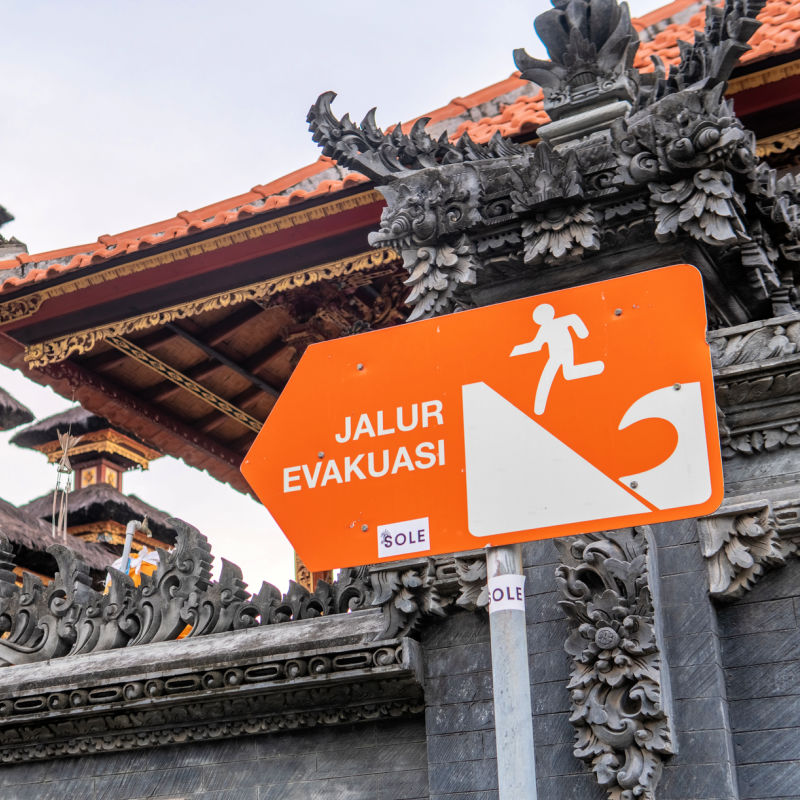
To help mitigate this risk, Serangan has a 12-meter-high Tsunami Temporary Evacuation Site (TES), and regularly conducts evacuation simulations for residents and students.
There is a Tsunami Shelter in Seminyak, too. Tourists arriving in Bali should ask their accommodation hosts about the protocols to follow in the event of a tsunami, earthquake, or other natural disaster.
Remove All Ads & Unlock All Articles… Sign up for The Bali Sun Premium


Plan Your Bali Holiday:
Book The Best English Speaking Drivers For Airport Transfers & Tours
Choose From Thousands of Bali Hotels, Resorts, and Hostels with Free Cancellation On Most Properties
Book Cheap Flights To Bali
Don’t Forget Travel Insurance That Covers Medical Expenses In Bali
For the latest Bali News & Debate Join our Facebook Community
SUBSCRIBE TO NEW POSTS
Enter your email address to subscribe to The Bali Sun’s latest breaking news, straight to your inbox.
Discover more from The Bali Sun
Subscribe to get the latest posts sent to your email.
Exp
Saturday 1st of November 2025
Large part of the tourist zones are in low land with limited possibility to reach higher ground within 30 minutes, mainly due to the traffic jams that will be caused by locals on motorbikes. So the best bet is to identify nearby taller buildings.